Log in
All resources
Create a design
516 Free Images of 1860 Maps
gemeente atlas van nederland - north holland
1860s maps of north holland
gemeente atlas van nederland - south holland
1860s maps of south holland
media from regionaal archief alkmaar
goeree-overflakkee in the 19th century
nieuwkoop in the 19th century
bodegraven-reeuwijk in the 19th century
netherlands in the 1860s
history of alphen aan den rijn
gemeente atlas van nederland - south holland
1860s maps of south holland
gemeente atlas van nederland - north holland
maps of hensbroek
gemeente atlas van nederland - north holland
maps of wieringerwaard
gemeente atlas van nederland - north holland
maps of avenhorn
gemeente atlas van nederland - north holland
maps of ursem
gemeente atlas van nederland - north holland
maps of hoogkarspel
gemeente atlas van nederland - north holland
maps of katwoude
gemeente atlas van nederland - north holland
maps of wognum
gemeente atlas van nederland - north holland
maps of zwaag
gemeente atlas van nederland - north holland
maps of wijdenes
gemeente atlas van nederland - north holland
maps of spanbroek
gemeente atlas van nederland - north holland
maps of landsmeer
gemeente atlas van nederland - north holland
maps of schellinkhout
gemeente atlas van nederland - north holland
maps of oudendijk
gemeente atlas van nederland - north holland
maps of krommenie
gemeente atlas van nederland - north holland
maps of berkhout
gemeente atlas van nederland - north holland
maps of obdam
gemeente atlas van nederland - north holland
maps of sijbekarspel
gemeente atlas van nederland - south holland
1860s maps of south holland
gemeente atlas van nederland - north holland
old maps of heemstede, north holland
gemeente atlas van nederland - south holland
1860s maps of south holland
gemeente atlas van nederland - south holland
maps of zegwaart
gemeente atlas van nederland - south holland
1860s maps of south holland
gemeente atlas van nederland - north holland
maps of wijdewormer
gemeente atlas van nederland - north holland
maps of westzaan
gemeente atlas van nederland - north holland
maps of urk
gemeente atlas van nederland - north holland
maps of midwoud
gemeente atlas van nederland - north holland
maps of vlieland
gemeente atlas van nederland - north holland
maps of twisk
gemeente atlas van nederland - north holland
maps of westwoud
gemeente atlas van nederland - north holland
maps of ilpendam
gemeente atlas van nederland - north holland
maps of opmeer
gemeente atlas van nederland - north holland
maps of middelie
gemeente atlas van nederland - north holland
maps of bovenkarspel
gemeente atlas van nederland - north holland
maps of wormer
gemeente atlas van nederland - north holland
maps of opperdoes
gemeente atlas van nederland - north holland
maps of hoogwoud
gemeente atlas van nederland - north holland
maps of warder
gemeente atlas van nederland - north holland
maps of wormerveer
gemeente atlas van nederland - north holland
maps of uitgeest
gemeente atlas van nederland - north holland
maps of oosthuizen
gemeente atlas van nederland - south holland
1860s maps of south holland
gemeente atlas van nederland - south holland
1860s maps of south holland
gemeente atlas van nederland - overijssel
netherlands in the 1860s
gemeente atlas van nederland - friesland
old maps of leeuwarden
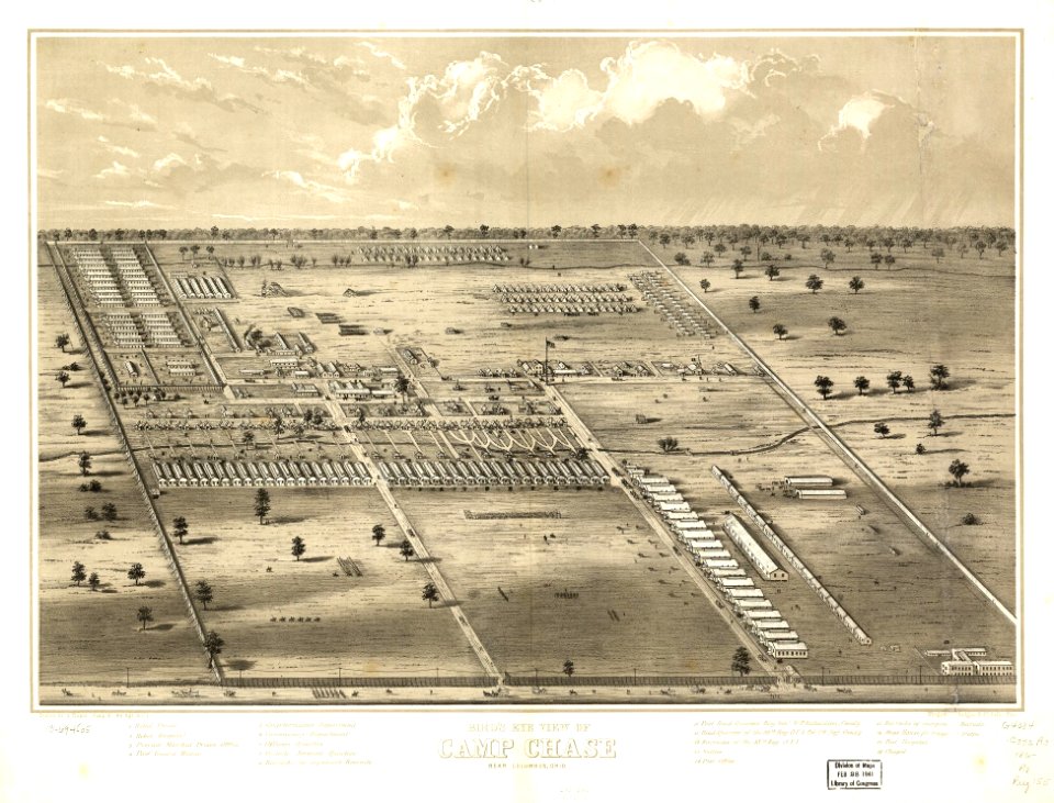
the loyal west in the times of the rebellion (illinois)
cairo, illinois in the 1860s
gemeente atlas van nederland - south holland
1860s maps of south holland
gemeente atlas van nederland - south holland
maps of warmond
gemeente atlas van nederland - south holland
maps of gouderak
gemeente atlas van nederland - north holland
maps of marken (waterland)
gemeente atlas van nederland - north holland
old maps of enkhuizen
media from regionaal archief alkmaar
schoorl
gemeente atlas van nederland - north holland
maps of schoorl
gemeente atlas van nederland - south holland
1860s maps of south holland
gemeente atlas van nederland - north holland
old maps of monnickendam
gemeente atlas van nederland - south holland
1860s maps of south holland
gemeente atlas van nederland - north holland
maps of jisp
gemeente atlas van nederland - north holland
old maps of purmerend
media from regionaal archief alkmaar
oterleek
media from regionaal archief alkmaar
schermerhorn
media from regionaal archief alkmaar
limmen
gemeente atlas van nederland - south holland
maps of hazerswoude
gemeente atlas van nederland - south holland
1860s maps of south holland
gemeente atlas van nederland - south holland
maps of veur
gemeente atlas van nederland - north holland
19th-century maps of den helder
gemeente atlas van nederland - north holland
maps of beets, north holland
gemeente atlas van nederland - south holland
1860s maps of south holland
gemeente atlas van nederland - south holland
1860s maps of south holland
gemeente atlas van nederland - north holland
maps of venhuizen
maps of the new york and new jersey campaign
maps showing 1776
gemeente atlas van nederland - south holland
1860s maps of south holland
gemeente atlas van nederland - south holland
maps of de lier
gemeente atlas van nederland - south holland
maps of stompwijk
gemeente atlas van nederland - south holland
1860s maps of south holland
gemeente atlas van nederland - south holland
maps of groote lindt
gemeente atlas van nederland - north holland
maps of broek in waterland
media from regionaal archief alkmaar
scharwoude
media from regionaal archief alkmaar
winkel, north holland
gemeente atlas van nederland - south holland
maps of den bommel
gemeente atlas van nederland - north holland
bennebroek
gemeente atlas van nederland - north holland
old maps of hoorn, north holland
gemeente atlas van nederland - south holland
maps of abbenbroek
maps of karafuto
ainu language
media from regionaal archief alkmaar
sint pancras
gemeente atlas van nederland - south holland
maps of koudekerk aan den rijn
media from regionaal archief alkmaar
zuidschermer
gemeente atlas van nederland - south holland
1860s maps of south holland
media from regionaal archief alkmaar
egmond-binnen
topographischer atlas der schweiz
thurauen
gemeente atlas van nederland - north holland
old maps of beverwijk
gemeente atlas van nederland - south holland
1860s maps of south holland
gemeente atlas van nederland - north holland
old maps of hoorn, north holland
gemeente atlas van nederland - south holland
maps of hei- en boeicop
gemeente atlas van nederland - north holland
maps of sint maarten, north holland
cornell's primary geography (1860)
maps of australia and new zealand
gemeente atlas van nederland - south holland
1860s maps of south holland
historical
history
gemeente atlas van nederland - north holland
maps of egmond aan zee
media from regionaal archief alkmaar
zijpe
media from regionaal archief alkmaar
broek op langedijk
301 - 400 of 516
Next page
/ 6